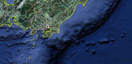
Here’s how the tsunami looked like from Google Earth. That’s one freaking scary image! You can check out Google Maps as well for various locations, videos and pictures of the tsunami. [Link]

Here’s how the tsunami looked like from Google Earth. That’s one freaking scary image! You can check out Google Maps as well for various locations, videos and pictures of the tsunami. [Link]
This site uses Akismet to reduce spam. Learn how your comment data is processed.

id like to correct something . what you saw in that satellite picture is not the actual tsunami this is the oceanic ridge next to japan
an oceanic ridge is like a valley but underwater.
a tsunami would look nothing like that from space
add to that the fact that google earth images are digitally modified in order to show the maritime topography so this is not the actual picture of the tsunami from space
http://www.news.com.au/world/japan-triggers-pacific-wide-alert/story-fn6sb9br-1226020167004
check out this link for an analysis of the wave repercussions in the pacific due to the earthquake